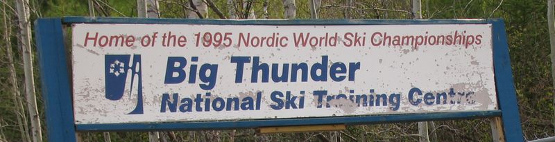
'Big Thunder' abandoned ski jump
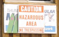
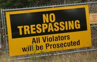
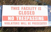
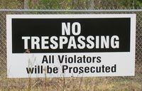
The abandoned "Big Thunder" ski jump facility is prominently visible from Highway 61. Its probably also a magnet for reckless snowboarders and mountain bikers. Hence it is very very much fenced off, with loads and loads of no trespassing signs surrounding it. I thought I'd convey that impression by surrounding this page with lots of no trespassing signs as well.
| 
| 
| 
|
Unfortunately with so many such large no trespassing signs, the excuse of "I didn't see the sign" wouldn't hold much water. Or at least not if one approached the place from the regular road access. In situations like this, my sister Marlene and I usually resort to finding a 'back way' into a site that does not go past any no trespassing signs, but we didn't have much time, and she was nursing a baby at the same time, so some GPS guided buswhacking adventure was definitely out this time!
Fortunately, I have a long telephoto on my digital camera, so I was able to capture quite a bit of the facility without actually doing any trespassing.
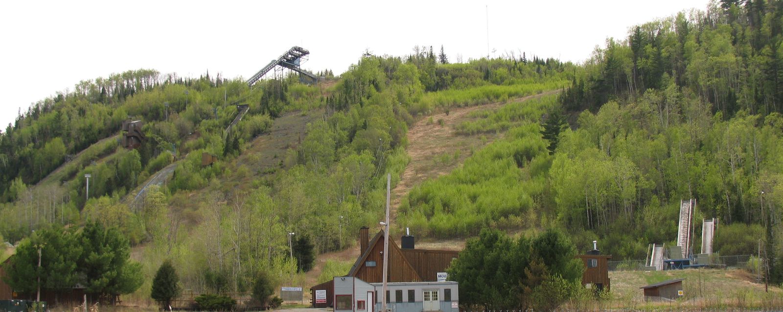
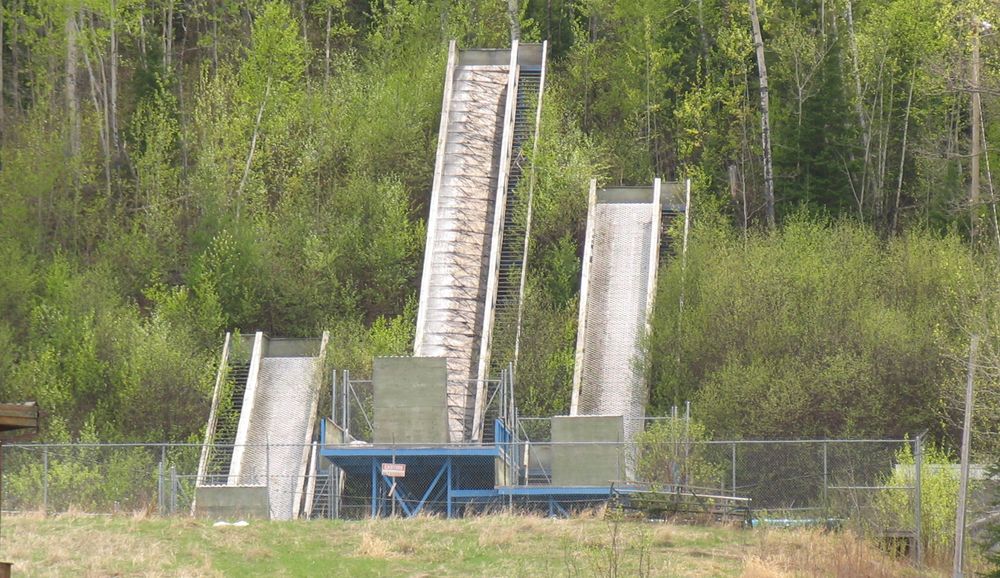
The above shot shows an overview of most of the facility (click it for more details). The picture on the ridge is for the main big ski jump, but there is actually a total of 9 ski jumps at the facility, all of different sizes. I guess this is important to allow people to work up their nerve to try the really big ski jump.
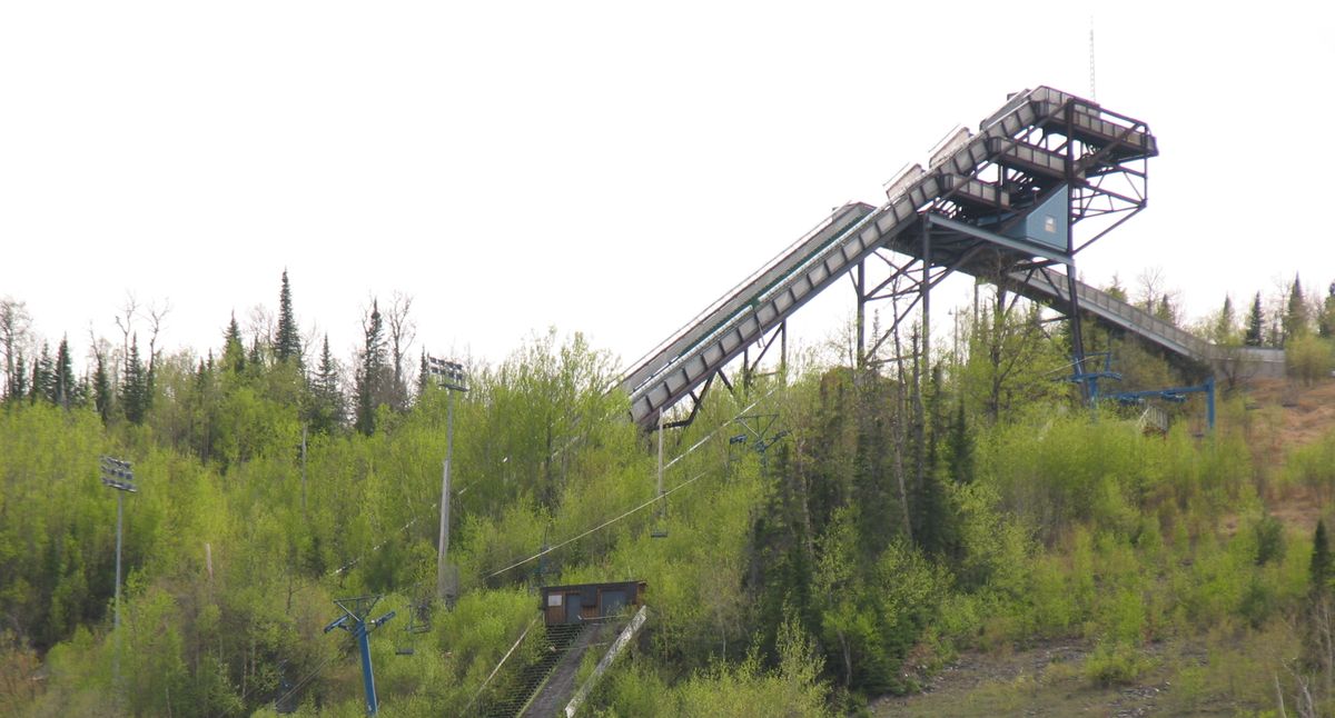 This is a more detailed view of the main jump (click it for more details).
You can see the two person lift, as well as t he top of one of the smaller ski jumps
towards the bottom of the view.
This is a more detailed view of the main jump (click it for more details).
You can see the two person lift, as well as t he top of one of the smaller ski jumps
towards the bottom of the view.
Really, the structure doesn't look like its in overly bad shape, but then again, its
only been unused since 1995, or about 12 years to my checking it out.
Here's a view of the main jump hill and structure for the largest jump.
There's another ramp for jumping onto the same landing slope as the main jump,
although this is not readily apparent from the road. The google satellite view
makes this clear though.
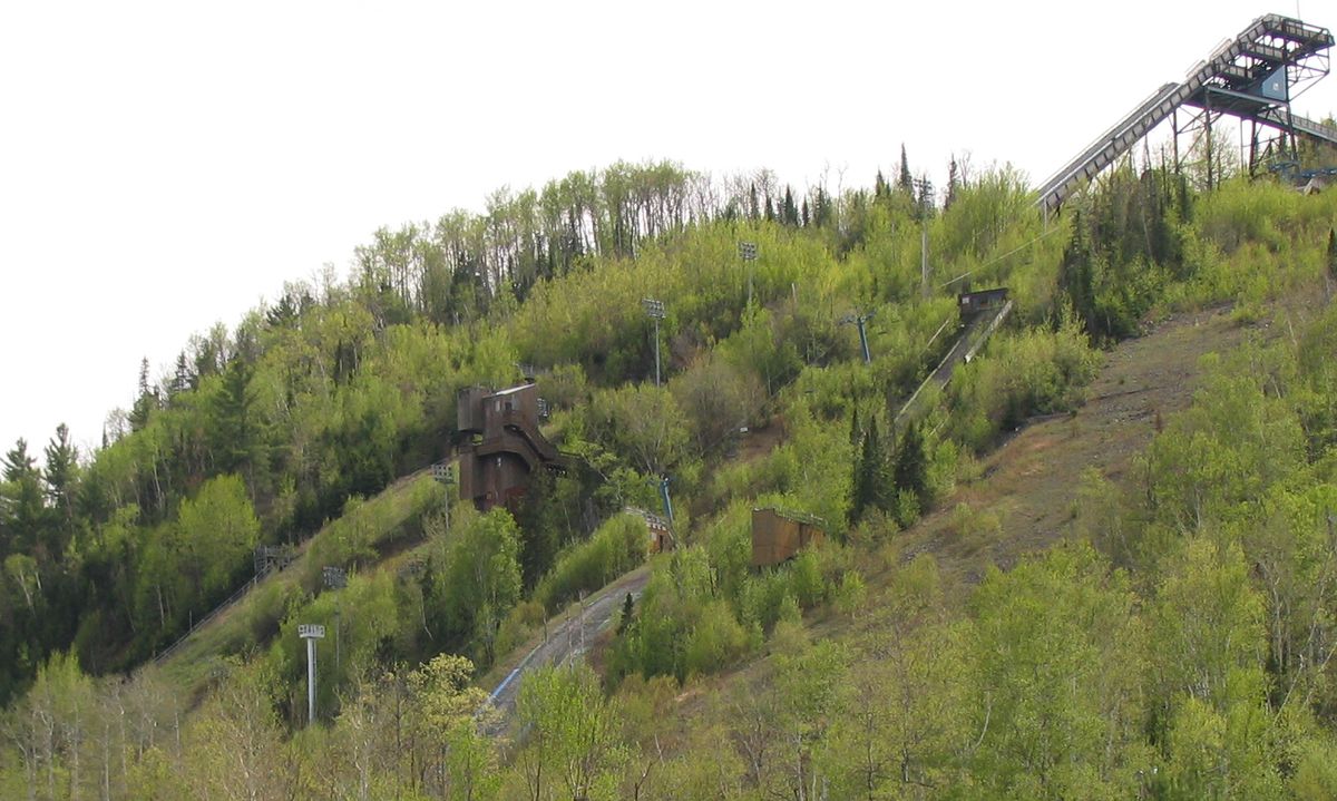
There's the largest jump hill, plus another smaller ski jump ramp visible near the front. I assume the wooden structure is for judging and filming jumps off the main ramp. With all the lights stands and all, it looks like this would have been a very happening place at some point.

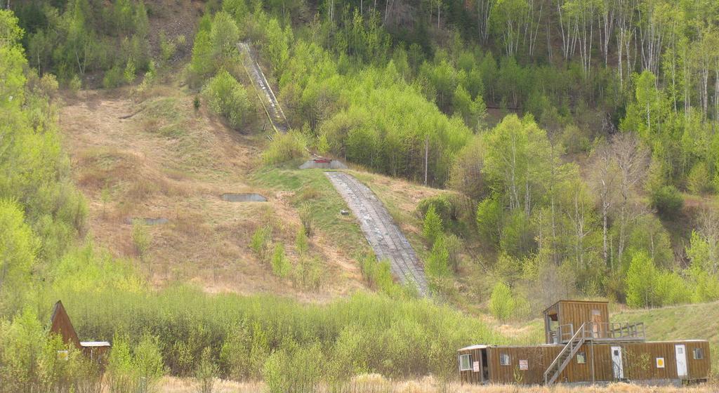
 Next towards the right is three baby ski jumps. These seem to end in a swimming
pool like structure, especially as seen from the google satellite view:
Next towards the right is three baby ski jumps. These seem to end in a swimming
pool like structure, especially as seen from the google satellite view:
Doing some research, these appear to be ramps for summer training in
Freestyle skiing
 Towards the right of the facility is three more ski jumps. The largest of these
three is readily apparent, although there are two more earthen ski jumps. The only thing
that makes these evident is the little bit of concrete for where the actual end of the
ramps was.
Towards the right of the facility is three more ski jumps. The largest of these
three is readily apparent, although there are two more earthen ski jumps. The only thing
that makes these evident is the little bit of concrete for where the actual end of the
ramps was.
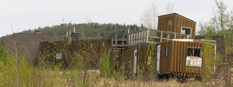
Most of the buildings, at least from a distance, look to be in pretty good shape, although this building, which looks to be more of a trailer, looks pretty ramshackle. I guess time does take its toll.
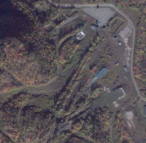 And finally an aerial view from google satellite.
Click
Here
to browse the site with google satellite. Really, google satellite is an awesome tool
for checking out places like that, especially if you want to try to plot a 'back way' into
the facility. If you do, you'd also want to know that the GPS coordinates of the top
of the main jump are:
And finally an aerial view from google satellite.
Click
Here
to browse the site with google satellite. Really, google satellite is an awesome tool
for checking out places like that, especially if you want to try to plot a 'back way' into
the facility. If you do, you'd also want to know that the GPS coordinates of the top
of the main jump are:
-
N 48.283414, W 89.386316
Related articles on this website:
Back to my Ruins page
![]()